Air Traffic Control simulator
We develop software of Air Traffic Control Simulator as the main subcontractor of a company that develops computer appliance simulators.
This simulator have set of workplaces for dispatchers or air control officers where each of them can train to control the air traffic and solve different air traffic problems. Also this simulator have powerful Instructor Operating Station for exercises preparations, controlling and after action reviewing.
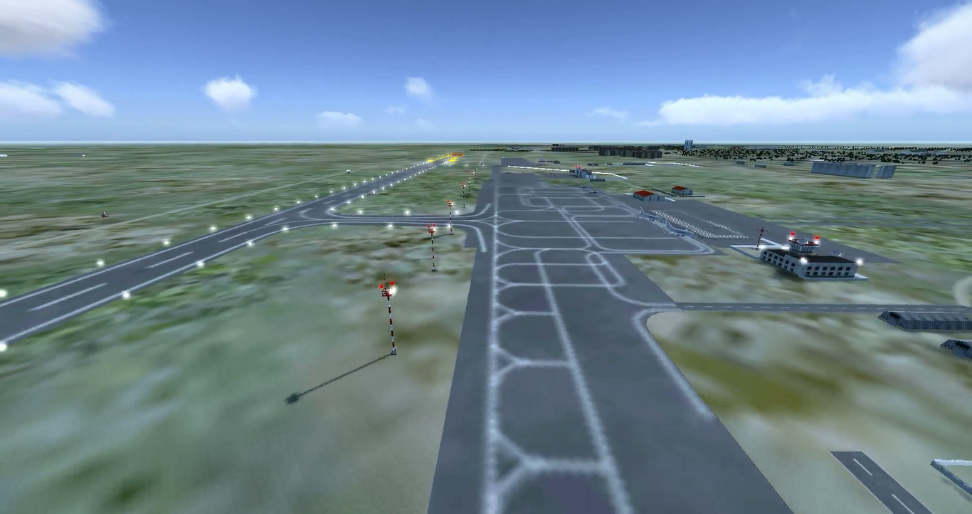
Real world areas and are precisely modelled, with relief correspondence. Also civil air traffic and related objects of real area is modelled to train dispatchers and air control officers be ready to work in concrete real world environment.
This simulator is network-based and trainees at workplaces can act in a shared virtual environment with each other, man-in-the loop aircraft simulators and instructors using voice hardware and HLA protocol.
Core features of this simulator:
Air traffic related simulation
- Real-time air traffic modelling and management
- Man-in-the-loop and computer-in-the-loop simulated aircrafts support
- Modelling of airport-related environment
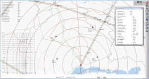
- Radar work simulation with visibility zone calculation, azimuth grid and radar scan sweeps
- Realistic modelling of flight dynamics and trajectories, with correct turn radiuses calculations depending on aircraft properties
Network & Interoperability
- HLA based network simulator with lots of workplaces of dispatchers or air control officers who share the same virtual environment
Instructor operating development
- Instructor Operating Station for controlling traffic, setting meteorological conditions, time of day etc, for aircrew answers voice accompanying for training dispatchers, accompanying computer-in-the-loop aircrafts behaviour according to a dispatcher’s orders
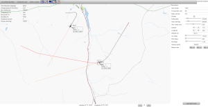
- On-map for a “big picture” and 3D views for situational awareness are available
- Editors for configuration of airport-related environment
- Distributed simulation recording for debriefing and after-action review
Geospatial development
- Geospatial-based, geodesy and cartography are widely used in calculations, e.g. distances, coordinates etc


