
Terrain Generation and Modelling
We have expertise in real world terrain modelling. So, we can recreate real world areas in our virtual world with maximum level of similarity. In this case maximum realism of training can be reached because trainees can be most prepared for further training in the same place in the real world, and the most important properties of the real world have already been taken into account in the simulation process.
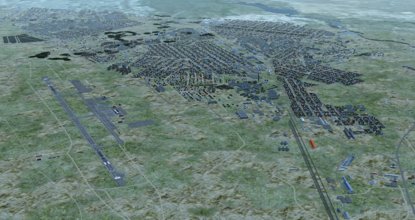
Here you can see restoration of one of real-world city using digital vector maps, terrain imagery, 3D models library and SRTM elevation map. You can see a roads, river in the top-right, city blocks and bush / tree areas that are generated automatically from correspondent vector map. Airport environment in bottom left was added manually
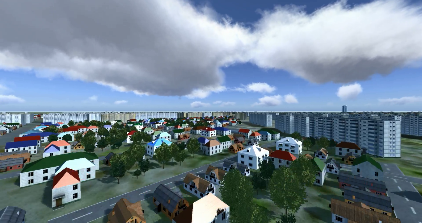
Here you can see city blocks automatically generated from digital vector map data using typical for this region 3D models. Roads are automatically generated too due to digital vector map.
We develop software for automatization of terrain modelling. Using an elevation map (in SRTM or other format), terrain imagery, digital vector maps and 3D models typical for the region our terrain generation module can create simulation and 3D models of the real-world area for their further use in simulation. Models are created both at simulation (for simulation algorithms) and 3D scene levels.
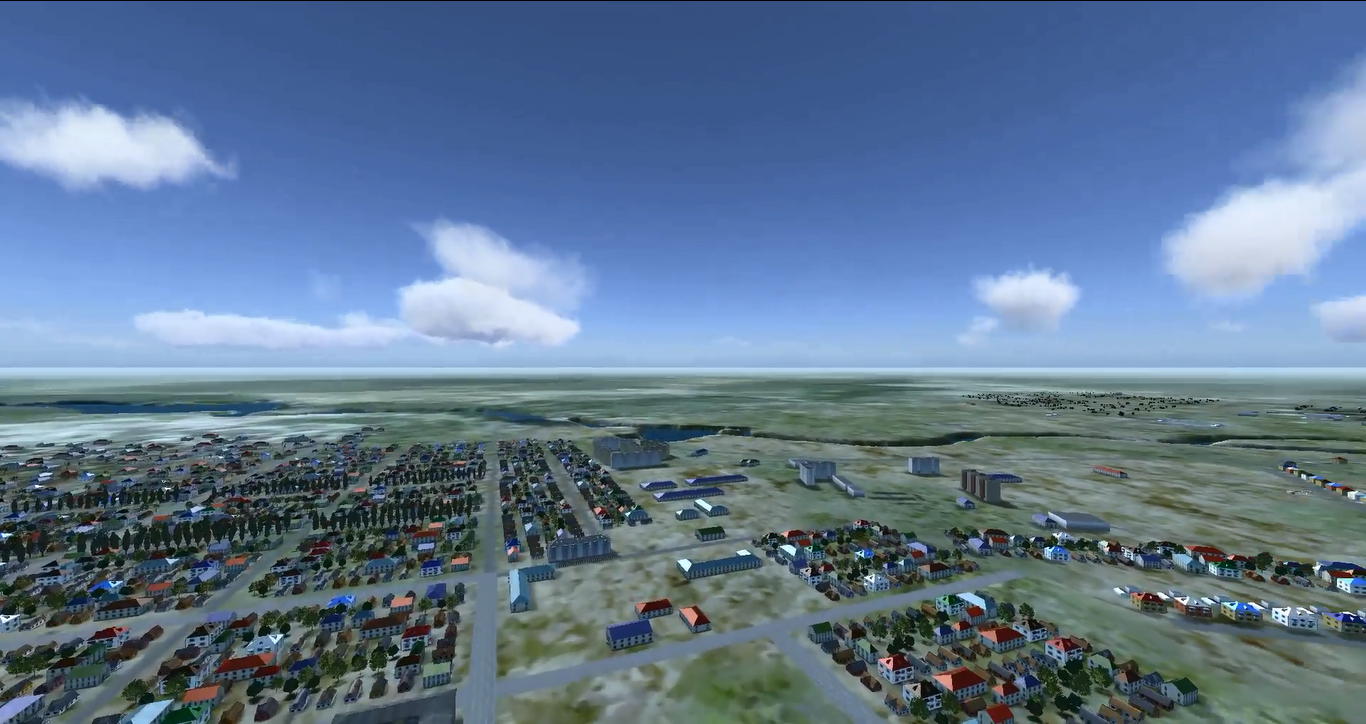
Here you can see relief of terrain that is used in model. This relief is taken from SRTM elevation data and corresponds to terrain in this region.
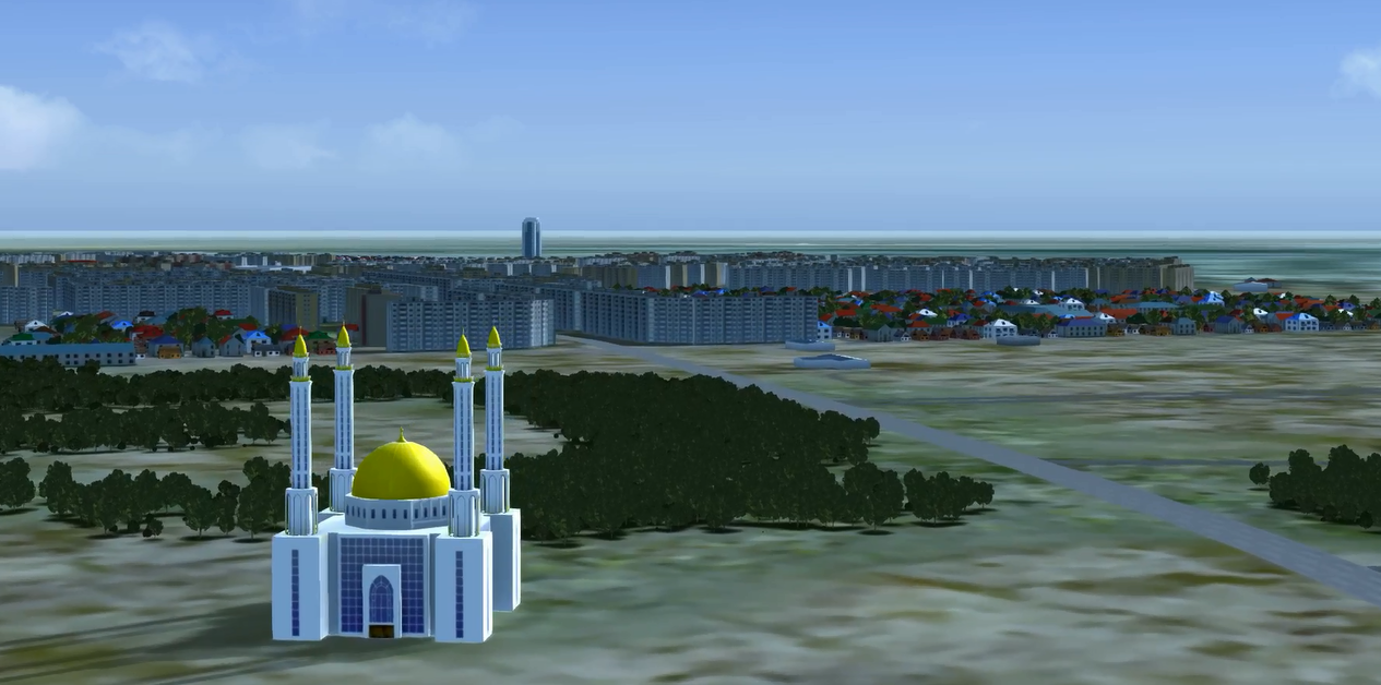
Cultural objects are added to map using 3D models developed by our team
Obviously, military training in some real world area is the most much effective if trainees have experienced training in such a place with a simulator before.
We simulate a real world area with the greatest level of similarity:
- Automatic modelling of a real world area terrain using an elevation map, terrain imagery, digital vector maps and 3D models typical for the region. Random terrain generation abilities
- Recreation of the real world relief (using SRTM or customer terrain elevation database) and its use in our simulation model. The relief is taken into account for aerodynamics modelling, calculating of radar zones, information purposes, possibility to move ground machines etc.
- Modelling of real world terrain types, for example lakes, forests, bogs etc. These types of terrain are take into account in the model and affect the movements of ground machines and soldiers. Basic information about the terrain types is got from digital vector maps in automatic mode
- Modelling of real world natural or cultural objects. For example, some single rock, tree or building, or a village or city. All these objects are taken into account in a simulation model, for example it affects moving or positioning of ground machines.
- Weather, lighting and atmospheric effects according to the real world area. All these effects are taken into account when modelling aerodynamic of flight.
- High realistic 3D visualization of a real world area. So, a pilot can train to fly with a helicopter simulator on some simulated area of the real world with the same relief, aerodynamics, same objects like cities, temples, towers etc. After such a simulation he can train with a real helicopter and know this area because he has flown there many times before with the simulator. Pilots reported about realism of visualization because they recognized the area in the simulator.
- Development of 3D models similar to a modelled region. These models are used on terrain creating algorithms