
Digital vector maps based world generator
We develop a technology that allows to generate a simulation model (nVidia PhysX based terrain and objects model) and 3D model of a real world area, including such objects as roads, buildings, forests, lakes, rivers, customs borders etc.
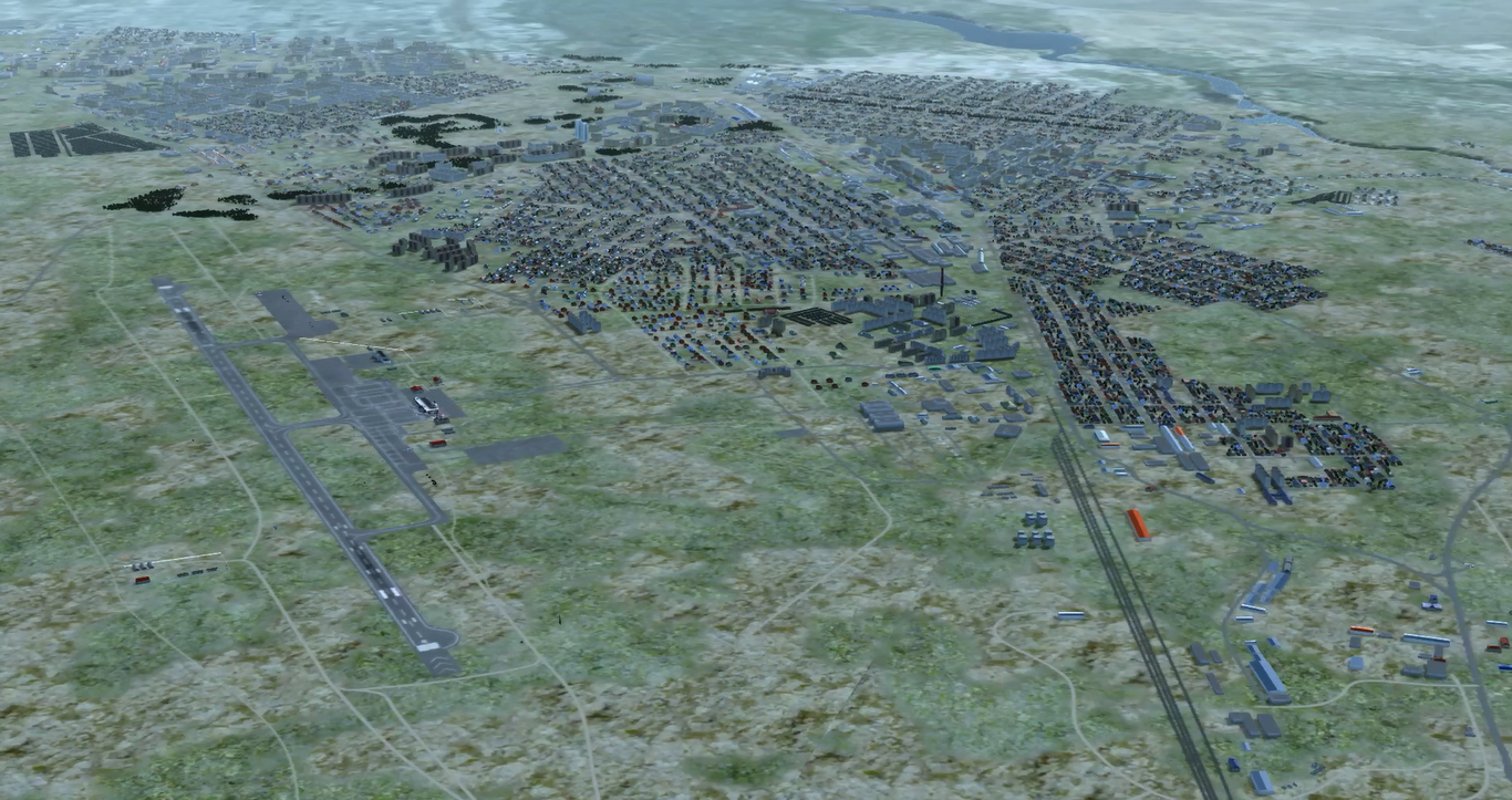
Here you can see restoration of one of real-world city using digital vector maps, terrain imagery, 3D models library and SRTM elevation map. You can see a roads, river in the top-right, city blocks and bush / tree areas that are generated automatically from correspondent vector map. Airport environment in bottom left was added manually
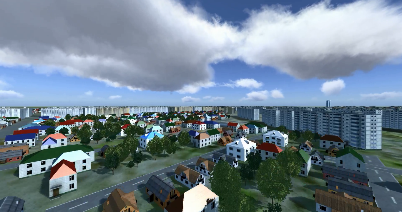
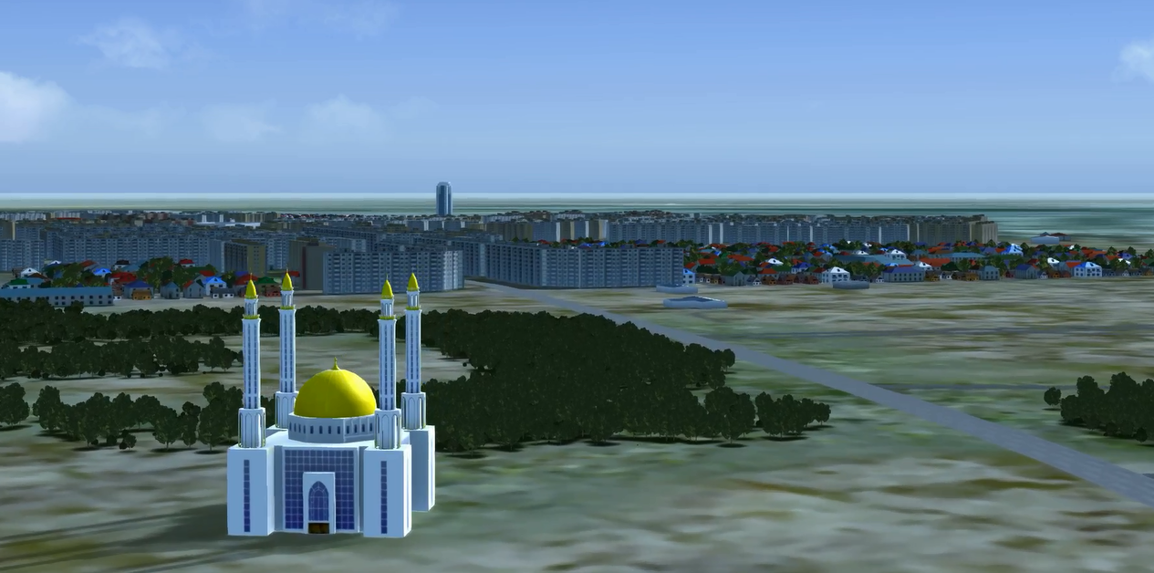
Here you can see city blocks automatically generated from digital vector map data using typical for this region 3D models. Roads are automatically generated too due to digital vector map.
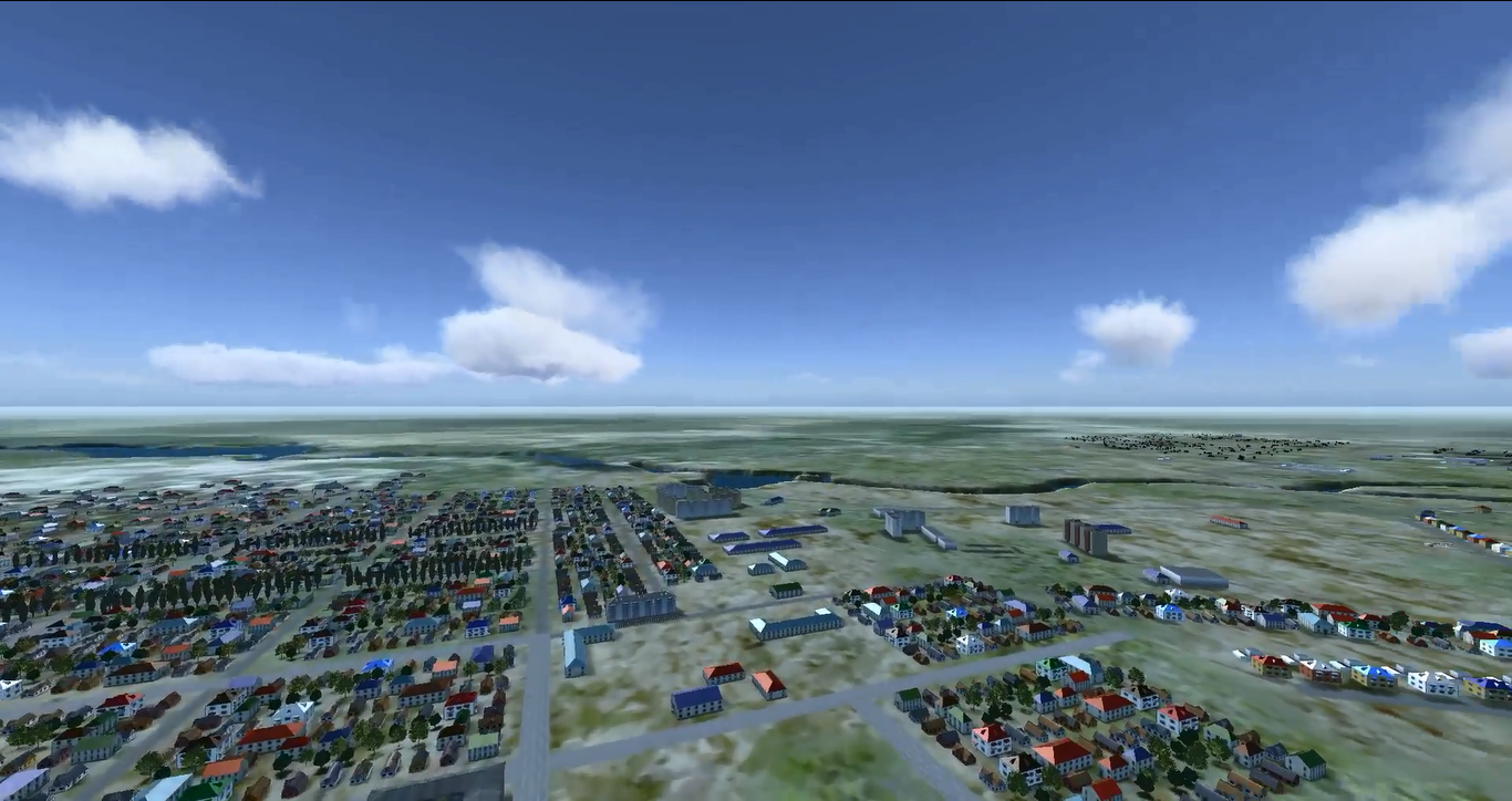
Here you can see relief of terrain that is used in model. This relief is taken from SRTM elevation data and corresponds to terrain in this region.
The well-known PhysX (this is a high-performance physics engine that is widely used in modern game development with huge environments that contain big amount of interacted objects) technology is used later in simulation process for working with 3-dimensional simulation model and allows working with terrain objects, collision detections, line-of-sight (LOS) checks etc.
Using a digital vector map with geospatial data, terrain imagery, 3D object models and terrain elevation database as inputs, this module produces simulation data models and 3D scene for simulation visualization purposes.
The resulted scene is anchored to a geographic coordinate system and represents some real world area with the help of aero imaginary and singleton objects, forests, cities, roads etc. Information about the area types, roads, rivers, fields, forests, cities etc. is taken from the digital vector map and used in virtual world generation. Appearance of objects is defined by choosing the corresponding 3D models library as input of generator.
Core features:
- Automatic generation of a virtual world simulation model and 3D scene based on input data (digital vector maps, terrain imaginary, 3D object models, elevation data). As a result of generation you will receive virtual world relief, imagery, land types, cities, forest, singleton objects that correspond to the real world area
- Support of different types of digital vector maps
- Support of SRTM or any customer elevation data
- Custom 3D models allowance to simulate different regions (typical models and textures of trees, buildings, plants etc, because appearance of Asia and Africa, for example, is very different)
- Accordance of elevations, land types and appearance to the source (=real world for good sources) data
- Expandability: the resulted scene can be refined by adding new objects, changing land types etc.